
Why Infrastructure Condition Reflects Municipal Priorities
When evaluating a potential home or neighborhood, most buyers focus on the property itself. But the condition of the streets, sidewalks, and utilities surrounding that property tells a parallel story - one about how a local government allocates public resources over time. Infrastructure doesn't deteriorate overnight. The state of a neighborhood's roads and systems is the visible result of years of budget decisions, maintenance cycles, and capital planning.
This matters practically and financially. Infrastructure in poor condition can affect property values, insurance considerations, and daily quality of life. It can also signal broader trends about where a municipality is - or isn't - directing investment. As explored in the factors that actually define neighborhood quality, physical infrastructure is one of several measurable dimensions that experienced buyers learn to read systematically.
The good news: much of what you need to know is visible from the street, and verifiable through public documents. You don't need specialized knowledge - just a structured approach to observation.
What you will need
What to Look For and How to Verify It
The steps below walk through a practical field evaluation. Bring the right tools, and plan to spend at least one dedicated visit - ideally two - in the area.
Smartphone with camera
Document infrastructure conditions - cracks, patching patterns, missing sidewalk panels - for later comparison and reference.
Municipal public works website
Access capital improvement plans, road resurfacing schedules, and utility upgrade timelines for the area.
City or county GIS map portal
View infrastructure project overlays, utility districts, and pavement condition ratings where available.
Notepad or observation checklist
Systematically record conditions across multiple streets so comparisons remain objective rather than impressionistic.
Walk and drive the streets at different times of day
A single pass through a neighborhood on a sunny afternoon can miss a great deal. Visit on a weekday morning and again after a rainstorm if possible. Wet conditions reveal drainage failures - pooling water, overwhelmed gutters, and flooded curb cuts - that are invisible when dry. Driving also surfaces road texture and noise, while walking lets you inspect sidewalks, tree root heave, and curb condition up close.
Assess road surface quality and repair patterns
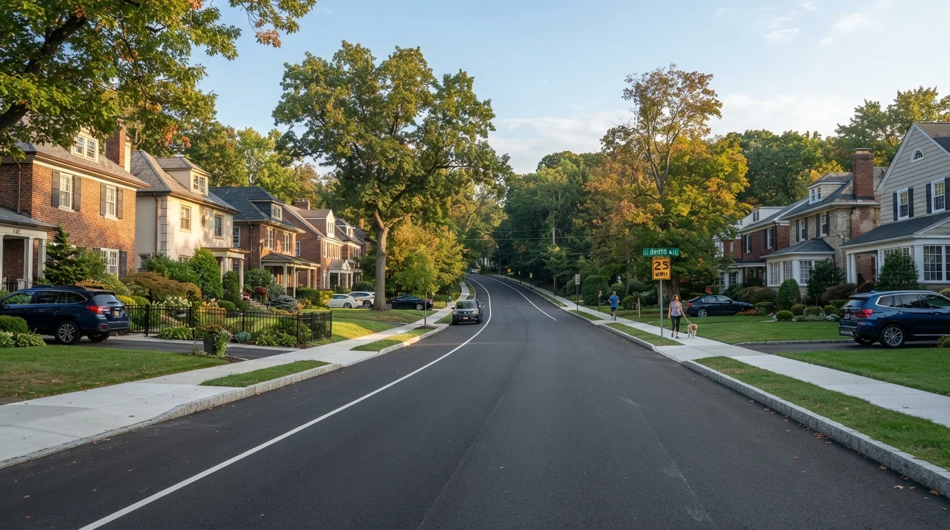
Look beyond whether a street is simply paved. Examine the surface texture: rutting, alligator cracking (a web-like fracture pattern), and extensive pothole patching suggest deferred maintenance cycles. Repeated asphalt patches in contrasting colors often indicate reactive, piecemeal repairs rather than proactive resurfacing. Well-maintained roads typically show consistent surface color, clear lane markings, and intact curbs - signs of regular investment rather than crisis management.
Evaluate sidewalk continuity and condition
Gaps in the sidewalk network - where pavement simply ends and pedestrians are forced into the road - suggest either older infrastructure that was never completed or sections where maintenance funding was cut. Inspect the condition of existing panels: lifted or cracked sections caused by tree roots are common, but what matters is whether the municipality responds to them. Uneven or missing curb cuts (the sloped ramps at intersections) also indicate how seriously a city takes accessibility compliance under the Americans with Disabilities Act.
Observe utility infrastructure above and below ground
Overhead power and telephone lines are a visible proxy for infrastructure age. Older neighborhoods with utility poles strung with multiple generations of lines - drooping cables, rusting hardware - may face higher outage risk and reflect slower utility reinvestment. Neighborhoods where utilities have been buried underground generally represent a higher level of infrastructure investment and often have fewer weather-related outages. Also note fire hydrant condition, the presence of visible water meter covers in good repair, and whether streetlights are functioning consistently. For digital infrastructure, see how to verify actual broadband and cell coverage before committing to a location.
Look for stormwater and drainage management
Inspect storm drains for damage, debris blockage, or evidence of erosion around the grate frames. Neighborhoods with outdated combined sewer systems (which carry both stormwater and sewage in a single pipe) can face overflow issues during heavy rain - a health and property risk. Note whether drainage channels, bioswales, or retention areas are maintained or overgrown. Neglected stormwater infrastructure is one of the more expensive deferred maintenance categories municipalities face.
Cross-reference observations with public records
What you see on the ground should be checked against the municipality's capital improvement plan (CIP) - a multi-year budget document that lists planned infrastructure projects by area. Most cities and counties publish these online. Search for road resurfacing schedules, utility replacement timelines, and sidewalk improvement programs. A neighborhood with poor current conditions but a funded, near-term project in the CIP is in a different situation than one where no work has been budgeted. Contact the public works department directly if the published information is unclear.
Compare Blocks Systematically
Don't evaluate just the block where a property sits. Walk or drive three to four blocks in each direction. Uneven conditions between adjacent streets can reveal how selectively a city targets improvements - information that's relevant both to current livability and to future investment patterns.
Cosmetic Improvements Can Mask Underlying Issues
A freshly painted curb or recently patched sidewalk near a listed property may reflect targeted preparation for sale rather than a neighborhood-wide maintenance commitment. Always check the broader block context and the municipal capital improvement plan to distinguish isolated cosmetic work from systemic investment.
Infrastructure quality is one dimension of a larger picture. The role of local government and city services extends to trash collection, code enforcement, and park maintenance - factors that operate alongside physical infrastructure to shape daily life. And for those weighing a newer development against an established area, the infrastructure trade-offs between older and newer neighborhoods deserve careful consideration. Newer developments may have modern roads but untested utility systems; established neighborhoods may have aging pipes but a proven maintenance track record.
Finally, combine what you observe with an understanding of where the neighborhood is headed. Signs of growth versus decline - including permit activity, business turnover, and infrastructure investment patterns - provide the fuller context that infrastructure observation alone cannot supply.
This article provides general informational guidance for educational purposes. It does not constitute financial, legal, or real estate advice. Consult a licensed real estate professional or attorney for guidance specific to your situation.