
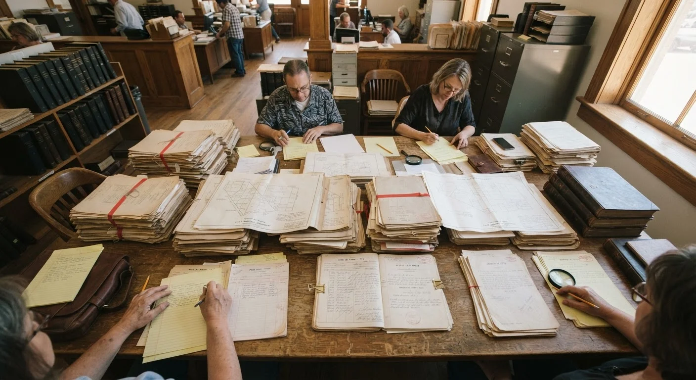
Why Public Records Tell a More Complete Story
Listing photos and agent descriptions are designed to market a property, not document its history. Public records exist for a different purpose: accountability and legal transparency. They capture what happened to a property, a block, or an entire district over time - independently of what any seller or landlord chooses to share.
Permit records show whether improvements were done legally and inspected. Code enforcement logs reveal how local government has intervened. Deed histories trace ownership and encumbrances. Together, these sources create a factual baseline that no marketing material can replicate. This approach pairs naturally with remote neighborhood research methods that rely on the same publicly available infrastructure.
Cross-Reference Multiple Data Sources
No single public record tells the full story. Combining permit activity with code enforcement logs, zoning maps, and tax assessment history gives you a far more accurate picture than any one source alone. Think of it like assembling puzzle pieces - each record fills a gap the others leave open.
Understanding public records also helps you spot trajectory, not just current condition. A neighborhood that has seen a significant uptick in building permits over the past three years is telling a story about investor confidence. One with a cluster of unresolved code violations on a single block is telling a different story. For a broader framework on reading those signals, see signs of neighborhood growth vs. decline.
County Assessor's Website
Access property ownership history, tax assessment records, and basic parcel data for any address.
Municipal Building Permit Portal
Search permit applications and approvals to track construction, renovation, and demolition activity block by block.
Code Enforcement Records Database
Review logged complaints and violation notices for specific properties or street segments.
County Recorder or Register of Deeds
Search deed transfers, easements, deed restrictions, and liens attached to individual parcels.
City or County GIS Mapping Tool
Visualize zoning designations, flood zones, environmental hazard overlays, and parcel boundaries on an interactive map.
EPA ECHO or State Environmental Database
Check for reported environmental violations, superfund sites, or contamination records near a target area.
What You Need Before You Start
Effective public records research requires a small amount of preparation. Knowing your target address down to the parcel level, and understanding which government body maintains each type of record, prevents wasted time navigating the wrong databases.
What you will need
Most records are free to access through official government websites. Some counties charge nominal fees for certified document copies, but basic searches are generally available at no cost. Once you have your jurisdiction confirmed, follow the step-by-step process below.
Public Records Are Not a Substitute for Professional Due Diligence
The records described here are general educational tools, not a replacement for a licensed home inspector, real estate attorney, or title company review. Some records may be incomplete, misfiled, or lag behind actual conditions. Always verify critical findings with a qualified professional before making a financial commitment.
Step-by-Step: Researching a Neighborhood Through Public Records
Identify the Governing Jurisdictions
Before pulling any records, establish which government bodies control the area. A single neighborhood can fall under a city, a township, and a county simultaneously - each maintaining separate databases. Search your target address on your state's official government portal or enter it into a county GIS mapping tool to confirm the exact municipal and county boundaries. Note the names of the relevant assessor's office, building department, and recorder's office - you will use each one.
Pull Tax Assessment and Ownership History
Navigate to the county assessor's website and search the parcel by address or parcel identification number (PIN). Review the ownership history to see how frequently the property has changed hands. High turnover can signal unresolved problems. Also note the assessed value trend over several years - flat or declining assessments in an otherwise appreciating market can indicate localized issues worth investigating further.
Search Building Permit Activity
Access the municipal building department's online permit portal and search by address or block. Look at permit volume, types, and outcomes. A steady stream of approved renovation and construction permits in a neighborhood generally reflects investor confidence and private reinvestment. Conversely, a cluster of expired or denied permits can indicate stalled projects or regulatory friction. Pay particular attention to permits for structural work, electrical upgrades, and additions - these reflect substantive improvement, not cosmetic flips.
Review Code Enforcement and Violation Records
Many municipalities publish code enforcement logs online, searchable by address. Look for recurring violations at specific properties - repeated complaints about structural disrepair, overgrown lots, or illegal dumping can signal chronic neglect. Also note whether violations were resolved quickly or left open for extended periods. Prolonged open violations may indicate an absentee landlord situation or ownership disputes that affect neighboring properties as well.
Examine Deeds, Liens, and Deed Restrictions
Search the county recorder or register of deeds for the parcels you are evaluating. Look for recorded liens (including tax liens and mechanic's liens), easements that grant access to others, and deed restrictions - legally binding clauses that limit how a property may be used. Some older deed restrictions are no longer enforceable, but easements and active liens can materially affect ownership rights and future resale value. A title company will catch these during a formal closing process, but reviewing them early helps you ask better questions.
Check Zoning Maps and Pending Land Use Changes
Open the city or county GIS zoning map and locate the neighborhood. Confirm current zoning designations for the target property and its immediate surroundings. A parcel zoned commercial adjacent to a residential block signals a different risk profile than a uniformly residential area. Then check the planning department's agenda or case management system for pending rezoning applications or variance requests nearby. Approved rezonings that allow higher-density or industrial use can significantly alter a neighborhood's character - often within a few years of purchase. For deeper context, see how planning meetings reveal proposed developments that no listing will disclose.
Run an Environmental Records Check
Use the EPA's ECHO database or your state environmental agency's public portal to search for documented contamination sites, hazardous waste facilities, or reported violations within a defined radius. If the neighborhood has an industrial past - even a distant one - look for brownfield designations or remediation records. These do not always disqualify a neighborhood, but they are material facts you should understand before committing. Environmental conditions can affect financing, insurance, and long-term property values.
After completing these steps, you will have a documented record of permit activity, code enforcement history, ownership patterns, zoning context, and environmental disclosures for your target area. That evidence base - combined with an in-person visit and professional inspections - gives you a substantially more informed position than most buyers or renters bring to a decision.
For additional context on how to interpret demographic and statistical data alongside these records, see what publicly available demographic data can and can't tell you. And if this is your first time using neighborhood research tools in general, a first-timer's guide to neighborhood research tools covers the broader toolkit in plain terms.
Record Gaps Are Common - Don't Assume Silence Means Clean
Older municipalities may have incomplete digital records. A lack of documented violations does not guarantee a property or block has a clean history - it may simply mean records were never digitized. For properties built before the 1980s, consider requesting paper archives directly from the clerk's office.
This article is for general informational and educational purposes only. It does not constitute legal, financial, or real estate advice. Always consult a licensed real estate professional, attorney, or title company for guidance specific to your situation and jurisdiction.